
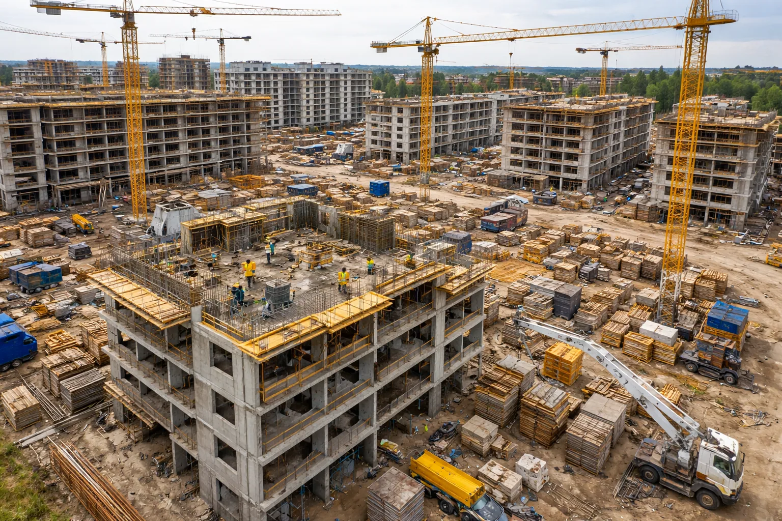
Construction
Aerial monitoring of construction sites, work progress, volumes, and operational safety. Time-based comparison between project plan, real state, and site criticalities.

Aerial monitoring of construction sites, work progress, volumes, and operational safety. Time-based comparison between project plan, real state, and site criticalities.
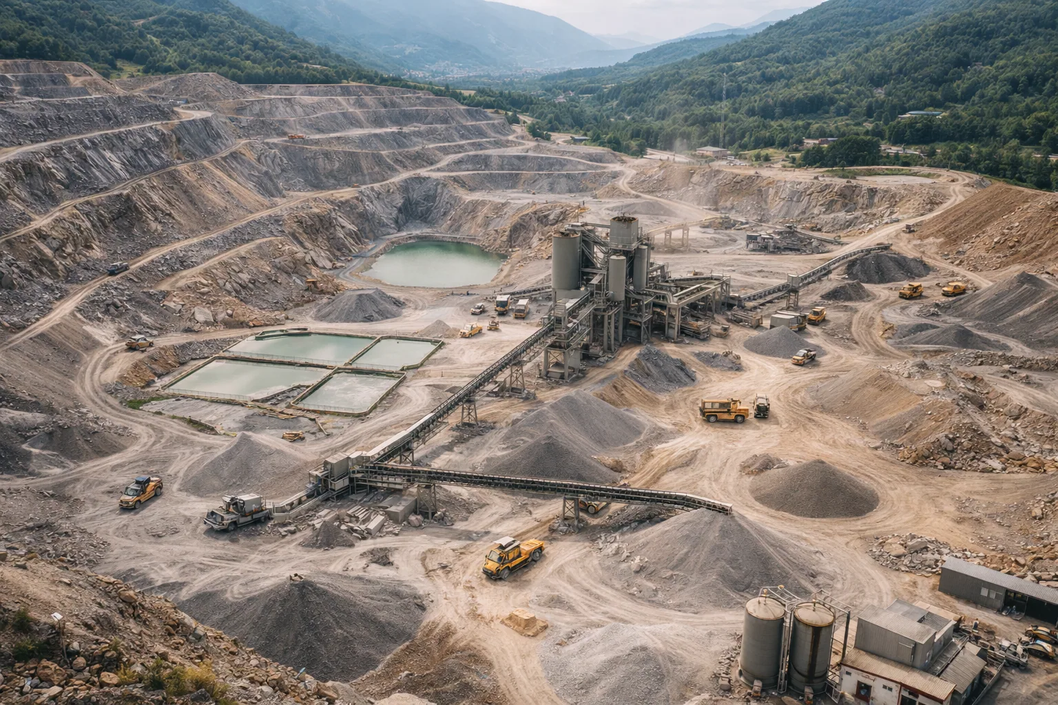
Survey of quarries and excavation fronts, volume calculations, roads, and stockpiles. Support for safety, planning, and production control.
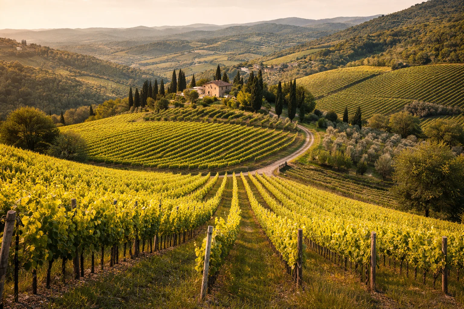
Orthophotos, 3D models, and point clouds for topography, infrastructure, and technical planning. Fast, accurate, and easy-to-share data.
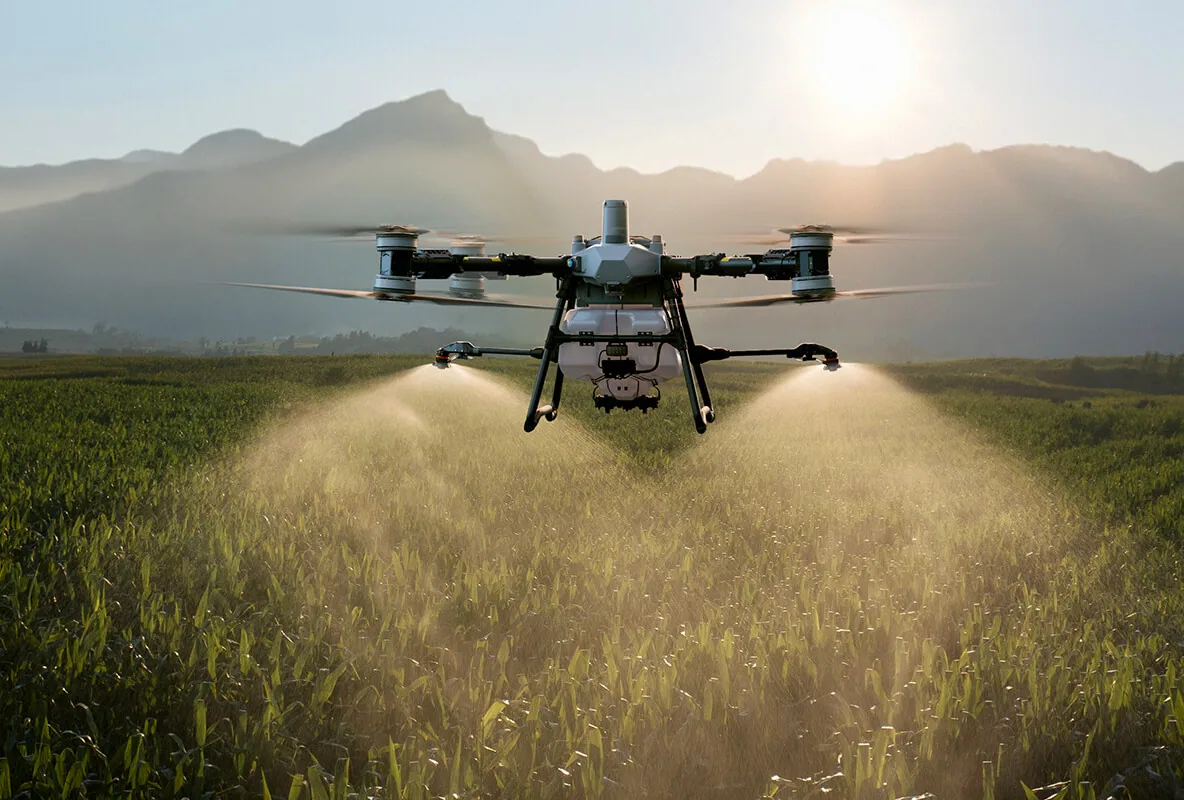
Analysis of vegetative vigor, water stress, and anomalies. Maps for targeted treatment, efficient irrigation, and yield optimization.